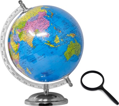
Set of 3 | 2 IN 1 INDIA POLITICAL AND PHYSICAL MAP IN ENGLISH, 2 IN 1 INDIA POLITICAL AND PHYSICAL MAP IN HINDI and 2 IN 1 WORLD POLITICAL AND PHYSICAL MAP IN HINDI Educational Charts | 20"X30" inch |Non-Tearable and Waterproof | Double Sided Laminated |Useful For Preparation Of SSC, UPSC, RRB, IES, and other exams Paper Print (30 inch X 20 inch)
Share
Set of 3 | 2 IN 1 INDIA POLITICAL AND PHYSICAL MAP IN ENGLISH, 2 IN 1 INDIA POLITICAL AND PHYSICAL MAP IN HINDI and 2 IN 1 WORLD POLITICAL AND PHYSICAL MAP IN HINDI Educational Charts | 20"X30" inch |Non-Tearable and Waterproof | Double Sided Laminated |Useful For Preparation Of SSC, UPSC, RRB, IES, and other exams Paper Print (30 inch X 20 inch)
Be the first to Review this product
Special price
₹439
₹540
18% off
Available offers
T&C
T&C
Delivery
Check
Enter pincode
Delivery by12 May, Monday|Free₹40
?
if ordered before 2:59 PM
View Details
Highlights
- Theme: Children
- Width x Height: 20 inch x 30 inch
Services
- Cash on Delivery available?
Seller
Description
Gowoo presents a set of 3 educational charts featuring the following maps: 2-in-1 India Political and Physical Map in English: This chart combines India’s political and physical aspects, the vast South Asian country. It showcases the political boundaries, states, union territories, major cities, capitals, and physical geography like mountains, rivers, and coastlines. The map is labelled in English, making it accessible to many learners interested in understanding India's political and physical landscape. 2-in-1 India Political and Physical Map in Hindi: This chart presents the political and physical features of India in Hindi. It provides a comprehensive view of the country's political divisions, states, union territories, major cities, capitals, and physical geography like mountains, rivers, and coastlines. The map is designed to help Hindi-speaking individuals understand and explore the geography of India. 2-in-1 World Political and Physical Map in Hindi: This chart provides a comprehensive view of the world, combining the political divisions, countries, continents, capitals, and major cities with the physical geography, including mountains, rivers, deserts, and oceans. The map is labelled in Hindi, allowing Hindi-speaking learners to explore and understand the global political and physical features. All three charts measure 20"X30" inches and are made with high-quality materials. They feature a double-sided laminated design, ensuring durability and longevity. Additionally, they are waterproof, making them suitable for various learning environments.
Read More
Specifications
| Sales Package |
|
| Size |
|
Manufacturing, Packaging and Import Info
Have doubts regarding this product?
Safe and Secure Payments.Easy returns.100% Authentic products.
Back to top


